Sky-Drones is focussed on integrating the world's biggest and brightest software technologies into our avionics solutions to provide its customers with the most customizable drone control solution available within the UAS industry.
AIRLink, the most advanced AI avionics for drones fully supports PX4 Software stack. You can view, edit and compile the open source code from the official repository.
Sky-Drones is an official member of Ardupilot Partner Program and AIRLink fully supports Ardupilot Software stack.
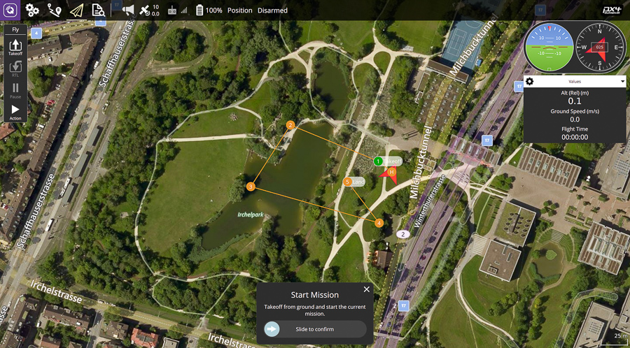
Mission Planner is a ground control station for UAVs. Compatible with Windows only, Mission Planner by ArduPilot can be used as a configuration utility or as a dynamic control supplement for your autonomous vehicle

Providing full flight control and mission planning for any MAVLinl enabled drone, QGroundControl's goal is to enable ease of use for professional drone users and developers

Sky-Drones Cloud provides real-time connectivity and drone swarm fleet management with advanced AI features.

With a goal of making integrated airspace a reality, Dronecloud has combined powerful U-space intelligence and regulatory automation with business management tools to create the future of drone management.

By simplifying drone operations, safety management, and complicance, DroneLogbook have taken care of UAV administrative tasks so as to enable Sky-Drones users to focus on the flight and mission at hand.

An industry-leading fleet management platform, mission control, and drone empowering operation that enables users to manage robotic aerial security, public safety, precision agriculture, facilities inspection and much more.
Advanced software combining cutting-edge Artificial Intelligence, sensor fusion, and camera platform controls to enable time-critical system autonomy. Seamless integration with unmanned platofrms makes this the obvious component for our users in the threat and hazard detection sectors.

Amazon Web Services is an open-source edge runtime and cloud service for building, deploying, and managing device software. Now running on SmartAP AIRLink by Sky-Drones, AWS Greengrass helps users build, deploy and manage device software across entire device fleets.

Providing a comprehensive oversight of airspace and managing aerial access for drones around critical infrastructure, land, and managed properties, Altitude Angel makes sure Sky-Drones' stakeholders benefit from the aerial revolution.


Sky-Drones Technologies LTD |
AZTEC HOUSE
397-405 ARCHWAY ROAD
LONDON N6 4ER
UNITED KINGDOM
SKY-DRONES TECHNOLOGIES LTD IS A LIMITED COMPANY REGISTERED IN ENGLAND AND WALES WITH COMPANY REGISTRATION NUMBER 12538870
© 2011-2026 All Rights Reserved.
London, United Kingdom